A Proactive Approach to North Central Texas Growth and Development: Integrating Transportation and Stormwater Infrastructure (TSI)
A proactive stormwater planning effort seeks to address increasingly flooded roadways, neighborhoods and critical infrastructure as rapid development and intense rain events collide in North Central Texas. The study integrates stormwater, transportation, and environmental planning in an effort to reduce risk in a region growing by 150,000 people per year.
A Texas Sized Planning Effort – TWDB’s Statewide Flood Planning
Reem Zoun, PE, CFM, Director of Flood Planning, Texas Water Development Board, will provide an update on the findings from Texas’s first ever statewide regional flood planning and the status of state flood planning effort.
Advancing the Implementation of Hydrologic Models Through Automated Data Preparation Approaches
Receive a demonstration of how to get simplified access to hydrologic model functionalities using automated approaches, including accessing and processing the necessary geospatial and climate data, preparing input files for a model by applying complex data preprocessing, and an example case of preparing input data for a hydrologic model.
0.1 CEU/1 PDH
Alternatives to Rip Rap: Environmentally-Sensitive Stream Stabilization Methods
In this course, over ten years of river restoration/repair case studies are presented.
.75 CEU/7.5 PDH
Aurora Ohio’s Stormwater Master Plan and Asset Management Program
The City of Aurora, Ohio, completed a stormwater master plan to identify needed improvements to address neighborhood flooding, stream bank erosion and aging infrastructure citywide. With the change in hydrology, the city has seen an increase in flooding in flood-prone areas throughout the community.
Automating Runoff Catchment Delineation Using ArcGIS Techniques
Discover a prototype ArcGIS tool that provides simplified access to the runoff catchment delineation process!
1 PDH / 0.1 CEU
Avoid Costly Mistakes Using HEC-RAS: Geometric Misrepresentations & Understanding Computations
Join us for this educational, two-part webinar as prolific speaker Dr. David T. Williams presents examples of subtle misuses of HEC-RAS that could have potentially significant effects on a project’s hydraulic results.
2.0 PDH / 0.2 CEU
Balancing Water Below Sea Level
This presentation explores the efforts by Jefferson Parish and the City of New Orleans to evaluate integrated gray and green infrastructure strategies within two adjacent neighborhoods separated by the 17th Street Canal, which was one of the failure points to cause historic flooding in the City of New Orleans during Hurricane Katrina.
Becoming Sea Level Wise: City of Virginia Beach Resiliency Planning to Adapt to Rising Seas
Virginia Beach is among the top ten cities in the country at risk from sea level rise. In 2015, Virginia Beach launched the Comprehensive Sea Level Rise and Recurrent Flooding Capital Improvement Program, which is now known as Sea Level Wise. This session will discuss the effort and its aim to produce information and strategies that enable Virginia Beach to establish long-term resilience to sea level rise and associated recurrent flooding.
Brentwood Bound Flood Mitigation
Flooding has long been a plague in the City of Brentwood along Deer Creek between Hanley Road and South Brentwood Boulevard with 26 floods since 1957, which caused significant public safety issues and property damage. The Brentwood Bound Project is a comprehensive plan to renew the Manchester Road corridor via three main components to the plan: Deer Creek Flood Mitigation, Manchester Road Improvements, and Deer Creek Greenway Connector.
Bridge Modeling Using HEC-RAS: Building the Model & Modeling Guidelines
Join us for this educational, two-part webinar as prolific speaker Dr. David T. Williams presents examples of common geometric mistakes and misunderstandings of bridge parameters using HEC-RAS that could have potentially significant effects on a bridge project’s hydraulic results.
2.0 PDH / 0.2 CEU
Bringing Stormwater into the 21st Century: Integrating Real-Time Asset Management, Flow, and Maintenance
Flagstaff Water Services has integrated real-time asset management with rain and flow gauging, weather radar, and maintenance work requests. This session will describe the integration and how it has been successful not only for community protection but for the city’s reporting and compliance requirements.
Catastrophic Flood Preparation: Tools to Help Minimize Impact and Damage
Discover which preparation methods are low-cost and achieve flood control in an efficient, expedient manner.
1 PDH / 0.1 CEU
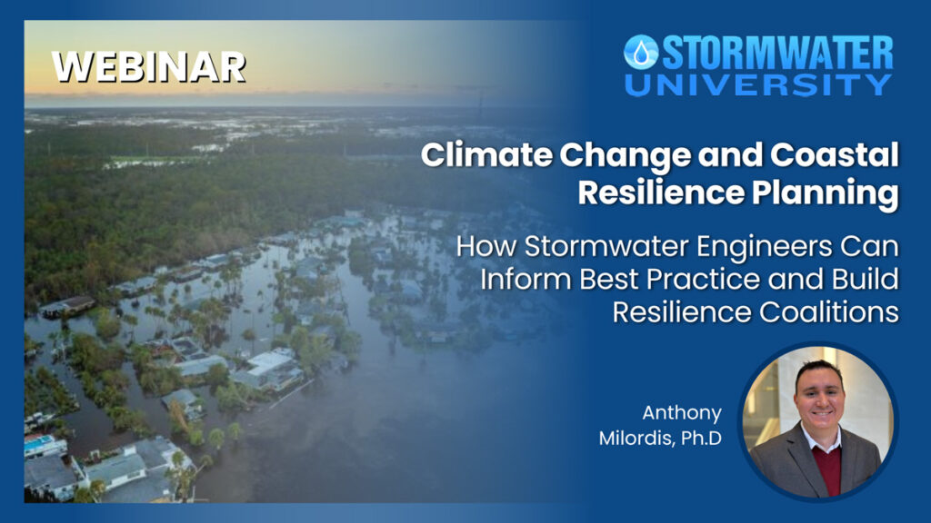
Climate Change Impacts to Stormwater
This course discusses how climate change impacts stormwater runoff, how to account for these changes in the design of stormwater and flood control facilities, and how secondary effects such as sea level rise indirectly impact stormwater runoff.
0.1 CEU/1 PDH
Coastlines Under Attack (Part 1): Rising Seas and Coastal Development
The first in a series of three courses focusing on the current state of affairs along our developed coast, strategy that is needed to meet these challenges, and some of the tough decisions that will need to be made regarding protecting certain coastal areas while abandoning others.
1.0 PDH / 0.1 CEU
Coastlines Under Attack (Part 2): Going on Offense – Responding to Sea Level Rise
Traditional responses to rising seas and coastal erosion have been largely defensive in nature. Sea walls, coastal revetment and breakwaters have been constructed all up and down the American coastline.
1.0 PDH / 0.1 CEU
Coastlines Under Attack (Part 3): Strategic Withdrawal – The Difficult Decisions We Face
We have built up many coastal areas that are totally unsuitable for human occupation. Now, as sea levels rise and storm impacts increase, these regions face agonizing decisions.
1.0 PDH / 0.1 CEU
Creating and Troubleshooting HEC-RAS Unsteady Flow Bridge Models in 1-D
Learn how to create a 1-D unsteady flow bridge model using HEC-RAS.
1 PDH / 0.1 CEU


