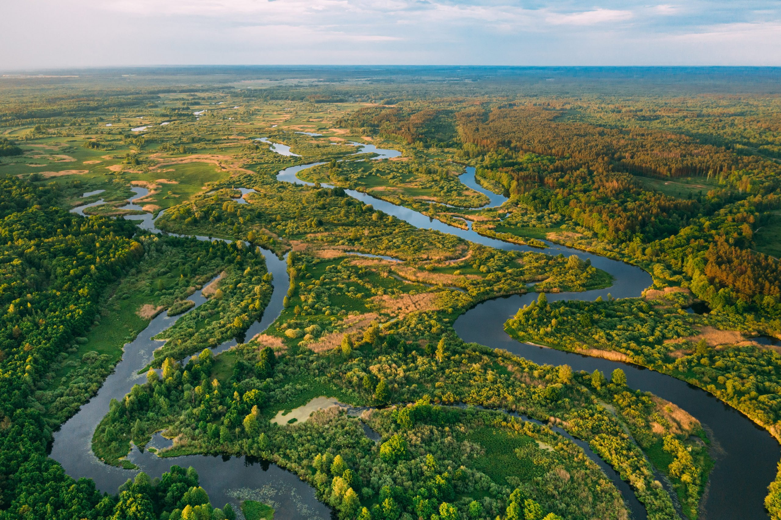
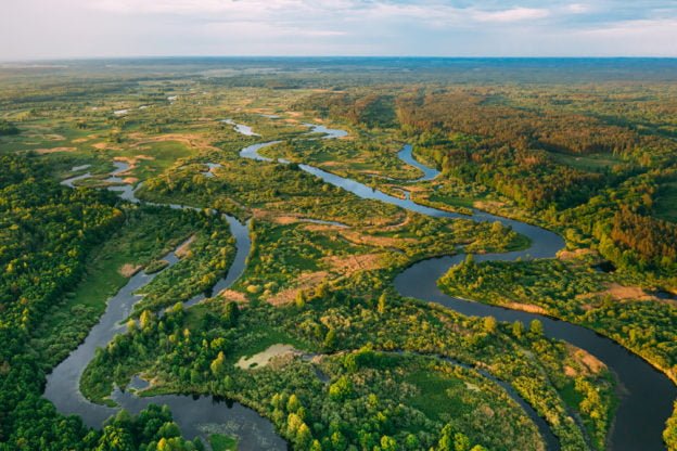
This course is an “on-ramp” to the 3DHP (3D Hydrography Program) highway. As the practice of EDH (elevation derived hydrography) evolves, the body of information available about it is often too technical or too high-level for organizations to plan for its use. The course offers a “just right” collection of insights useful to those using surface water data, and to those making decisions that facilitate its use.
This course highlights what organizations should consider, plan for, and seek to mitigate. Real-world examples are used to bring clarity to topics. The course content provides a judgement-free zone of surface waters learning, equipping the learner with practical steps for improving hydrography data assets.
Learning Objectives:
- Explain elevation derived hydrography
- Explain how EDH data is developed
- Explain aerial lidar and how it is being implemented
About Instructor

Not Enrolled
Course Includes
- 1 Lesson
- 1 Quiz
- Course Certificate
Login
Accessing this course requires a login. Please enter your credentials below!